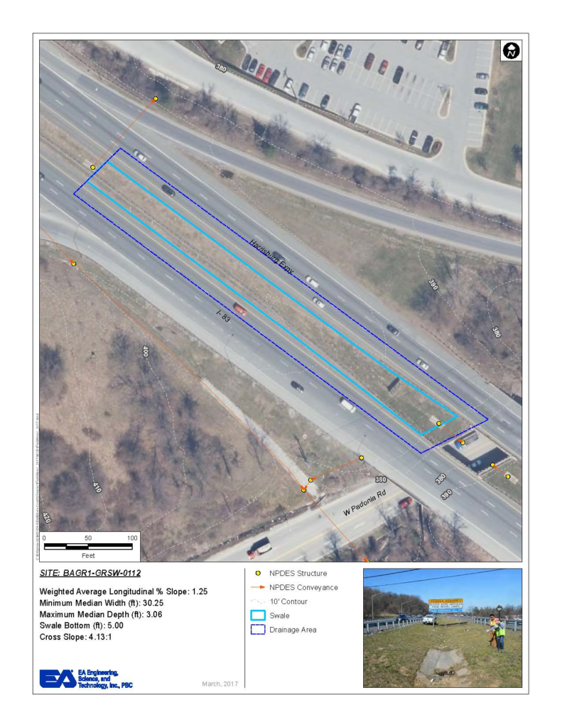
EA is supporting Maryland Department of Transportation State Highway Administration’s efforts to develop an inventory of grass channels for its NPDES database. EA created an ArcGIS Model based on a client-provided procedure for analyzing and processing the data. To confirm water quality benefits, EA delineated and analyzed the drainage areas for the swales using the ArcGIS Model and ArcHydro. This effort supported targeted reduction goals for total nitrogen, total phosphorus, and total suspended solids and accounted for acres of legacy impervious area being treated. In conjunction with the analysis, the grass swales were required to be field verified. EA utilized a Collector for ArcGIS Map, which was used by field staff with tablets to record field conditions and measurements of over 1,500 swales. The field data were stored using SQL Server and ArcSDE, and available for internal use immediately upon inspection completion. Prior to implementing the tablets in the field, EA trained team members in performing GIS edits, field data collection, and data management practices. The use of the Collector for ArcGIS Map eliminated the need for manual data entry, allowing for more effective and efficient data capture, quality control, and management.
