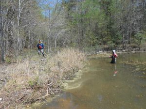
 The Appomattox River Water Authority required a delineation and assessment of over 38 miles of shoreline wetlands and over 150 stream channels in order evaluate the potential impacts of raising the targeted full-pool elevation of the Chesdin Reservoir by 18 inches. The standard routine wetland delineation process was anticipated to take over three months for the field work and cost over $130,000. In order to reduce cost and schedule, EA developed an alternative delineation approach which included target field data collection, desktop analysis, geographic information system modeling, and limited field confirmation checks. Alternative delineation approach was proposed to Virginia Department of Environmental Quality and U.S. Army Corps of Engineers and approved prior to the assessment.
Initial field data collection included collecting high resolution light detection and ranging imagery, conducting formal U.S. Army Corps of Engineers wetland delineations in limited areas, and establishing wetland transects within the 10 study areas. Data collected in the field were used to build a geodatabase of wetlands characteristics throughout the entire study area and wetlands were digitally mapped based on elevation, slope, soils, vegetation cover type, etc.
EA conducted a quality assurance/quality control field verification of 10 areas utilizing a transect assessment, which indicated an accuracy of mapped wetlands greater than 90%. An agency review was conducted and approved the full delineation of the study area. EA’s desktop analysis allowed for the completion of fieldwork with just 50% of the effort required for a traditional field survey. The size and limited accessibility of the site due to private ownership and shoreline-only access would have required an extensive field survey for a traditional wetland delineation. The reduction in field effort also resulted in a reduction of project cost, with a bottom-line cost savings of 30%.
